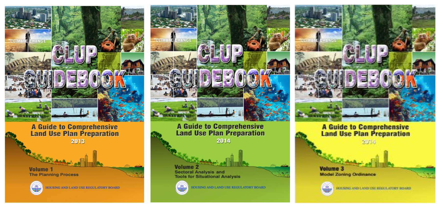
| Data Requirements (CLUP Guidebooks 2013/14) | Available Layers | Tag Keywords |
| A. Geographical, Administrative/Political Profile | ||
| 1. Geographic location of municipality Coordinates (longitudinal/latitudinal location) | 14 | clup.a.1 |
| 2. Location and significant role in relation to the province, region and country, if any. | 1 | clup.a.2 |
| 3. Municipal land area & boundaries | 1 | clup.a.3 |
| 4. Political Subdivisions (Urban-Rural Barangays) | 1 | clup.a.4 |
| 5. Alienable and disposable land | 1 | clup.a.5 |
| B. Natural and Physical Characteristics | ||
| 1. Climatological conditions-type of climate-prevailing winds, average annual rainfall & mean temperature- tidal current patterns (for coastal areas) | 3 | clup.b.1 |
| 2. Topography | 1 | clup.b.2 |
| 3. Vegetation/Vegetative cover for 2 periods (e.g. baseline year and current year) | 2 | clup.b.3 |
| 4. Soil | 3 | clup.b.4 |
| 5. Hydrogeologic Features | 26 | clup.b.5 |
| 6. Conservation areas and other Special Interest Areas | 2 | clup.b.6 |
| C. Existing Land Use (Refer to Annex 4-5 on Land Use Categories) | 0 | clup.c |
| D. Land Classification Map | 1 | clup.d |
| E. Environmental Condition | ||
| 1. Classification of rivers/bodies of water within the municipality | 1 | clup.e.1 |
| 2. Quality of rivers, marine waters, etc. (polluted or not; degree of pollution) | 0 | clup.e.2 |
| 3. Probable sources of pollution, if any | 0 | clup.e.3 |
| 4. Geological/ environmental hazard areas) | 109 | clup.e.4 |
| F. Other Land Related Data | ||
| 1. On-going projects: type, location, area covered | 0 | clup.f.1 |
| 2. Policies covering Production, Protection, Infrastructure and Settlement areas as defined in the Provincial Physical Framework Plan (PPFP) | 1 | clup.f.2 |
| 3. Tenure & Allocation Map (Areas with CSCs, CBFMA, land grant, protected area, special agreements and other tenure instruments) | 0 | clup.f.3 |
| 4. Conflicts/Issues Map (e.g. overlapping tenures/claim, identified boundary conflicts, location of new and old kaingin, location of illegal cutting areas) | 0 | clup.f.4 |
| G. Key Biodiversity Conservation Areas and Zones | 0 | clup.g |
| H. Infrastructure Map (showing the bridges, roads, communal irrigation system, water sources for domestic use, power distribution systems, ports, dams and other infrastructures) | 3 | clup.h |
| I. Institutional and Social Facilities Map (e.g. schools, hospitals, day care, tribal meeting areas, etc.) | 1 | clup.i |
| J. Settlements Map (showing population distribution by barangay, and areas of settlements; location of sitios) | 5 | clup.j |
| K. Mineral Map, if any (showing location of Mineral Production Sharing Agreement, exploration permits, Financial or Technical Assistance Agreements, mining claims) andMinahang Bayan (small- scale mining areas) | 2 | clup.k |
| L. Tourism areas map (Existing and potential tourism sites (caves, waterfalls, lakes, etc) | 1 | clup.l |
| M. Coastal area assessment | ||
| 1. Tide level | 0 | clup.m.1 |
| 2. Storm surge data | 0 | clup.m.2 |
| 3. Sea Level Rise Data | 1 | clup.m.3 |
| 4. Location/distribution/condition of: fish sancuaries, coral reefs, mangroves, seagrass beds | 4 | clup.m.4 |
| 5. Designated tourism areas | 1 | clup.m.5 |
| 6. Coastal facilities and infrastructure | 2 | clup.m.6 |
| 7. Foreshore, easements and buffer zones | 0 | clup.m.7 |
| N. Hazard Information | ||
| 1. Climate Information & Climate Change Projections | 3 | clup.n.1 |
| 2. Philippine Fault Zone Maps | 21 | clup.n.2 |
| 3. Active Faults and Trenches (Philippine and Regional Maps) | 1 | clup.n.3 |
| 4. Liquefaction Susceptibility Map (Philippine and Metro Manila Map) | 63 | clup.n.4 |
| 5. Earthquake-Induced Landslide Susceptibility Map (Philippine and Regional Maps) | 57 | clup.n.5 |
| 6. Tsunami-Prone Areas (Philippine and Regional Maps) | 46 | clup.n.6 |
| 7. Multi-Hazard Maps | 763 | clup.n.7 |
| 8. Landslide Susceptibility Maps | 63 | clup.n.8 |
| 9. Flood Susceptibility Maps | 52 | clup.n.9 |
| 10. Storm Surge Hazard | 28 | clup.n.10 |

HLURB CLUP Guidebooks 2013/14